Crafting Tomorrow with Wisdom
Mapping the future with innovative geospatial solutions.
Innovative Technology
Leading-edge solutions for your geospatial needs.
Client-focused strategies for optimal results.
Unparalleled expertise in geospatial services.
Client-Focused
Unparalleled Expertise


About Gelände Technology
Gelände Technology is an Indian geospatial organization established in 2020. The company specializes in providing geospatial services, with experties in the analysis, mapping and delivery of geospatial information.
Our team is passionate about what we do, and we are committed to provide the best services.


Our Company Overview
Founded in 2020, we provide exceptional geospatial services, emphasizing luxury design and modern solutions tailored to meet our clients' unique needs.
Geospatial Services Excellence
Delivering innovative solutions tailored to your geospatial needs with expertise and precision.


Mapping Solutions Offered
Comprehensive mapping services for accurate and insightful geospatial analysis and decision-making.
Data Analysis Services
Transforming raw data into actionable insights to drive your business forward effectively.
Consulting Expertise
Strategic consulting to optimize your geospatial projects and enhance operational efficiency.
Client Feedback
Our clients appreciate our innovative solutions and dedicated service.
Gelände Technology transformed our geospatial projects with their expertise and innovative approach. Highly recommend their services for any tech-driven initiative.
John Doe
San Francisco
The professionalism and attention to detail from Gelände Technology exceeded our expectations. Their innovative solutions have truly elevated our projects to the next level.
Jane Smith
New York
★★★★★
★★★★★
Gallery


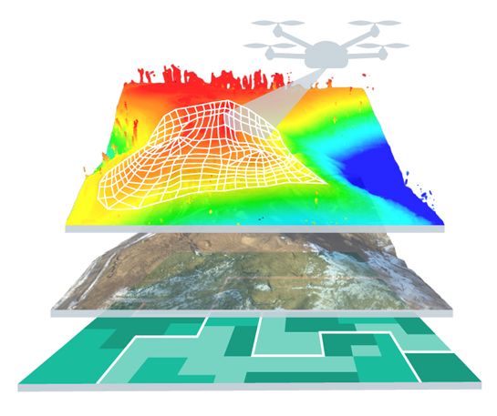
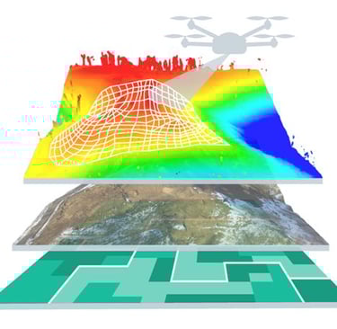
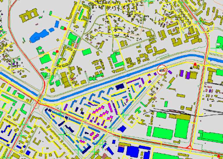
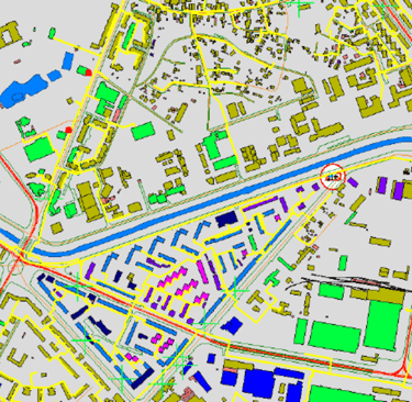
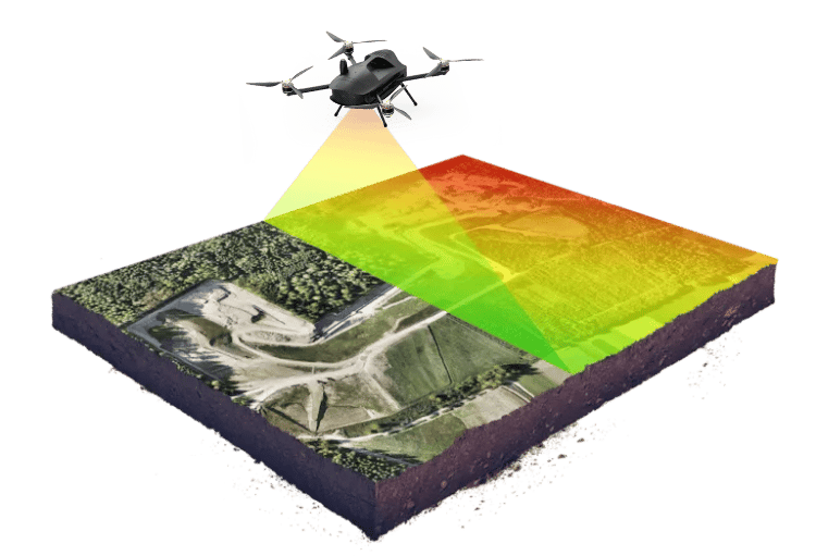
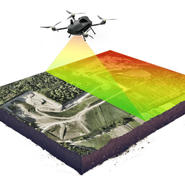
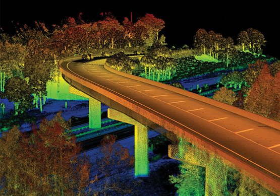
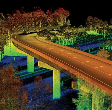
Explore our innovative geospatial solutions and technological expertise.